JavaScript is disabled for your browser. Some features of this site may not work without it.
- ResearchSpace
- →
- Search
Search
Showing 10 out of a total of 23 results. (0.024 seconds)
Now showing items 11-20 of 23
- Sort Options:
- Results Per Page:
-
-
-
-
-
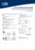
 (International Cartographic Conference (ICC), 2009-11)
 -
-
 (UNIVERSITY OF JOHANNESBURG, 2007-06)
 -

-
-
Now showing items 11-20 of 23
- Sort Options:
- Results Per Page:


